Critical Infrastructure Impacts, Dangerous Wildfire Situation in CA and Bitter Cold
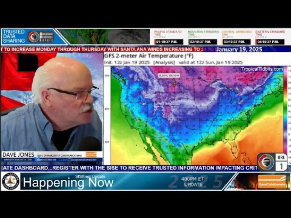
Valid 00Z Tue Jan 21 2025 - 00Z Thu Jan 23 2025 ...Dangerously cold temperatures and wind chill values to linger for much of the South and eastern third of the nation through mid-week... ...Rare winter storm to bring heavy snow as well as areas of sleet and freezing rain to the Gulf Coast and Southeast with widespread impacts... ...Extremely Critical Risk of Fire Weather for southern California will continue into Tuesday... A bitterly cold arctic airmass is currently in place for locations east of the Rockies with well below average temperatures extending from the High Plains to the East Coast. Wind chill values of 40 to 55 degrees below zero will linger within the core of the coldest air from the northern Plains into the Upper Mississippi Valley through Tuesday morning. Wind chill values that are below zero will affect a broad portion of the lower 48 extending from the southern High Plains into the Ohio River Valley and northern Mid-Atlantic region with wind chills in the teens and single digits possible for portions of the Gulf Coast. These extreme cold conditions will pose a risk of hypothermia to individuals not dressed appropriately as well pose potential for frozen pipes and damage to sensitive vegetation.
Top Bluesky Posts
Gulf coast snow storm, particularly dangerous situation for CA wildfires, and life-threatening cold in today's update for the All Hazards Consortium by @geocollaborate.bsky.social, StormCenter Communications. Stay warm, stay safe and don't forget your pets. 🧪❄️🥶🥶and 🔥 www.youtube.com/watch?v=8qgI...
This man does an excellent weather & damage preparedness show. He is the consummate professional & I think that those of you that live in the south in the US who aren't used to this will get a lot of value out of this. Please share this video youtu.be/8qgI_TmoVcI?...
youtu.be/8qgI_TmoVcI?...
Major Winter Storm and Santa Anna winds expected to hit southern California.
You may also like


